
The good news is that this airmass will lose much of its punch before arriving here later this afternoon (Tuesday 11/12) so temperatures won't drop as low as areas further north. The coolest day this week is forecast to be tomorrow - Wednesday - with temperatures reaching the upper 50s and a stiff northerly breeze ushering in very dry air, the kind that makes you reach for moisturizing lotion to ward off cracking and peeling skin.
Even better news is that temperatures and moisture content will rebound quickly along highway 30A as the center of the high pressure moves off the East Coast later this week. The clockwise flow around the high will bring southwesterly winds into the picture by the weekend, which will transport both warmth and moisture from the Gulf of Mexico back into the area. Warmer temperatures will result as shown in this forecast map for Sunday (we're inside the white oval):
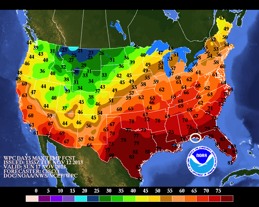
So c'mon down to Casablanca on 30A and take a break from the early onset of winter weather. No snow here!
No comments:
Post a Comment
Note: Only a member of this blog may post a comment.