Thursday, August 29, 2013

No hurricanes, just typical beach weather

Let's see...high temperatures in the upper 80's to near 90, anywhere from 20% to 40% chance of afternoon showers/thunderstorms, and partly to mostly sunny skies each day through Wednesday Sept 4th.  Sounds a lot like great beach weather at Santa Rosa Beach!!

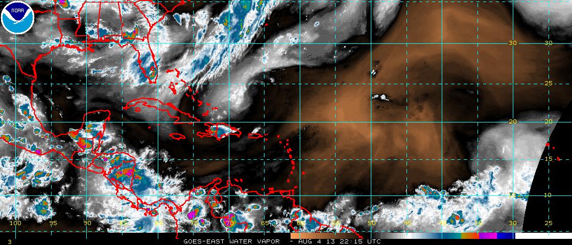
The Atlantic hurricane season has yet to produce any tangible threats to Florida panhandle beaches.  There are a couple of tropical waves to watch, one in the middle of the Atlantic and one still yet to emerge off the African coast, but the long range models don't show any tropical systems approaching northwest Florida.

Meanwhile the transition from meteorological summer (Jun 1st - Aug 31st) to autumn (Sep 1st to Nov 30th) is upon us, but as stated above the weather here at Santa Rosa Beach isn't changing much if any.  It will take a while for the seasonal march of cooler air from Canada to reach the Gulf of Mexico so approaching cold fronts will keep washing out north of the panhandle region.  Thus, more great beach weather is on the docket at Casablanca on 30A!!!

Saturday, August 17, 2013

A stretch of not-so-nice beach weather

The southwestern end of a stationary (read "stuck in one place") front is focusing a LOT of rainfall on Santa Rosa Beach now and for the next few days.  The boundary isn't going anywhere any time soon as this Weather Prediction Center forecast graphic for Tuesday morning shows:
The results of this weather setup include a flash flood watch and rip current statement issued by the National Weather Service office in Tallahassee and valid through 7 p.m. Sunday evening.

Total potential rain amounts by next Thursday evening are shown in this colorful graphic:
 The red shading over Santa Rosa Beach - the white star - indicates over three inches of rain, most of which will fall by Tuesday evening.  Yes, it will be wet!

Thus, good beach weather will be hard to come by for a while.  In fact the next day to have anything other than "mostly cloudy" in the forecast is Wednesday when "partly sunny" makes a comeback.  The good news is by that time typical summertime Santa Rosa Beach weather will return with afternoon showers and thunderstorms and highs in the upper 80's.  The only possible fly in the ointment could be the development of a tropical system from a disturbance currently in the southwestern Gulf of Mexico, but the National Hurricane Center only gives 30% odds of that occurring.  (Plus that moisture looks to stay over the western half of the Gulf.)

So, a short term glitch in beach weather but things look like they'll return to normal by midweek.  Casablanca on 30A is calling!

Sunday, August 4, 2013

Hurricane season taking a break for now

If you're concerned about the Atlantic hurricane season affecting your Santa Rosa Beach vacation plans don't be.  Even though seasonal activity usually ramps up from now until its peak in mid-September the action has fallen off quite a bit recently.  Tropical storm Dorian fell apart before it reached the Bahamas and its zombie-like remnants (they just wouldn't go away!!) have merged with a cold front that pushed off the southeastern U.S. coast. 

The rest of the Atlantic convective potential is being squashed by copious quantities of dry air and dust emanating from the Sahara desert as seen in this satellite image that shows water vapor:
The brown area indicates the dry air and associated dust over the Atlantic with no visible convection in this favored area for tropical development.  As a result there is little or no concern from the National Hurricane Center regarding tropical storms that could affect the U.S. mainland for at least the next week.  Satellite water vapor views of the Gulf of Mexico and the Caribbean Sea are equally devoid of convection.

So if you want to enjoy a great August vacation head on down to Santa Rosa Beach and check out Casablanca on 30A.  Along with the typical beach weather of high temperatures in the upper 80's and scattered afternoon thunderstorms the water temperature is in the mid-80's.